




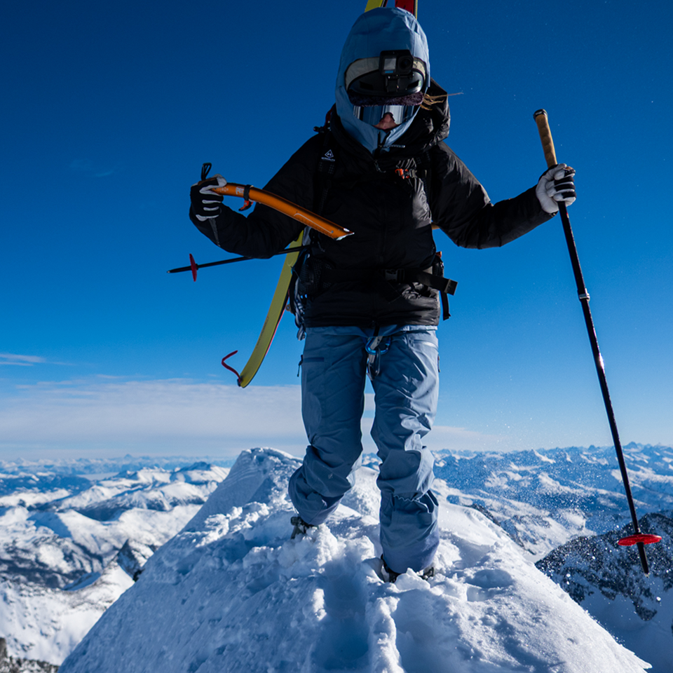

Getting to the base of a route can be an adventure in itself. Approach trails to a crag or alpine face are rarely as clear-cut as a maintained hiking path; they can mean bushwhacking through brush, scrambling over loose talus or picking a line up steep, exposed terrain just to find where the climbing route actually starts. Getting back down safely, especially late in the day or down an unfamiliar descent gully, carries its own risks. COROS built Outdoor Climb mode to capture your entire day seamlessly, with navigation woven in directly.
How Navigation Fits Into Outdoor Climb Mode
Outdoor Climb mode is built to track technical outdoor climbing across four distinct phases: Approach, Climb, Rest and Descend. Navigation is woven into the phases where you're actually moving towards or away from the rock:
- Approach: follow a route you've built or imported to get from the trailhead to the base of the climb, just as you would in Hike or Run mode.
- Climb: while you're on the wall, your watch can automatically detect known routes near your location and log pitch data as you go.
- Rest: belay, rack up and let the watch track rest periods between pitches or routes.
- Descend: guides and tracks your return to the trailhead.
COROS Tip: Start recording your Outdoor Climb activity before you begin the approach, not at the base of the wall. Rock walls and overhangs can block satellite signal, so giving your watch time to get a strong GPS lock on the approach makes for a cleaner track for the rest of the day.
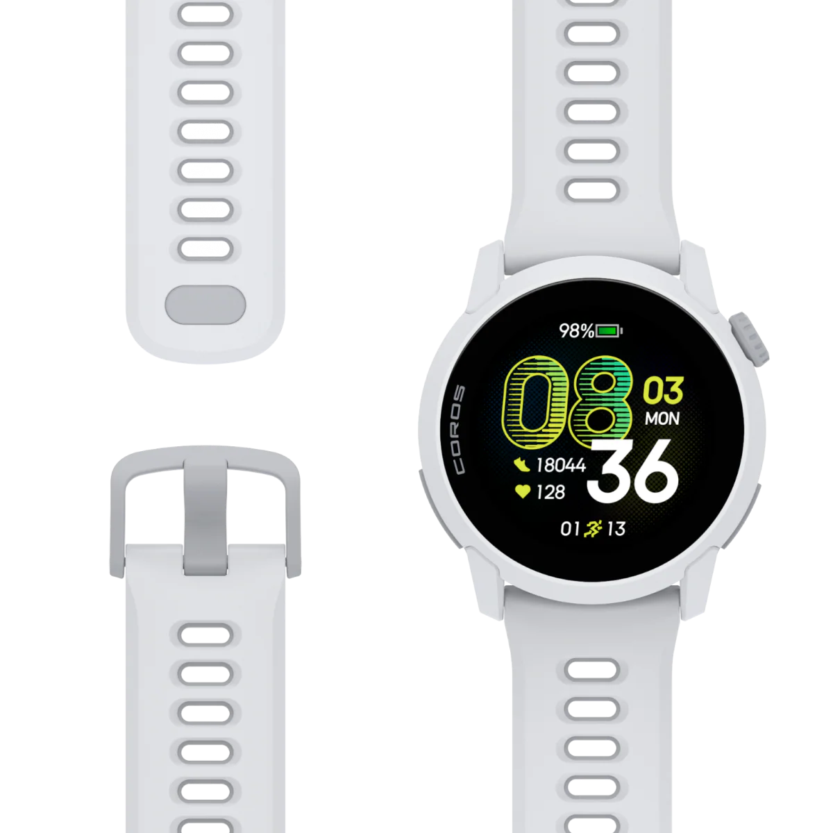
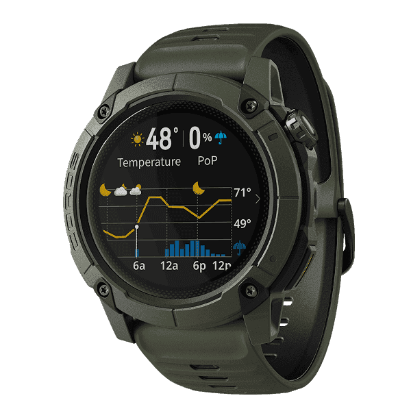
Outdoor Climb mode is available on select COROS watches, including the VERTIX 2, VERTIX 2S, APEX 2 Pro, APEX 4 and NOMAD.
5 Features to Find, Navigate and Log Your Climbs

1. Download Your Maps Before You Leave the House
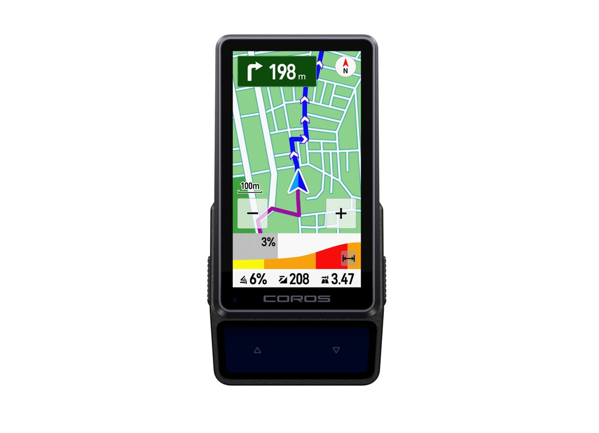
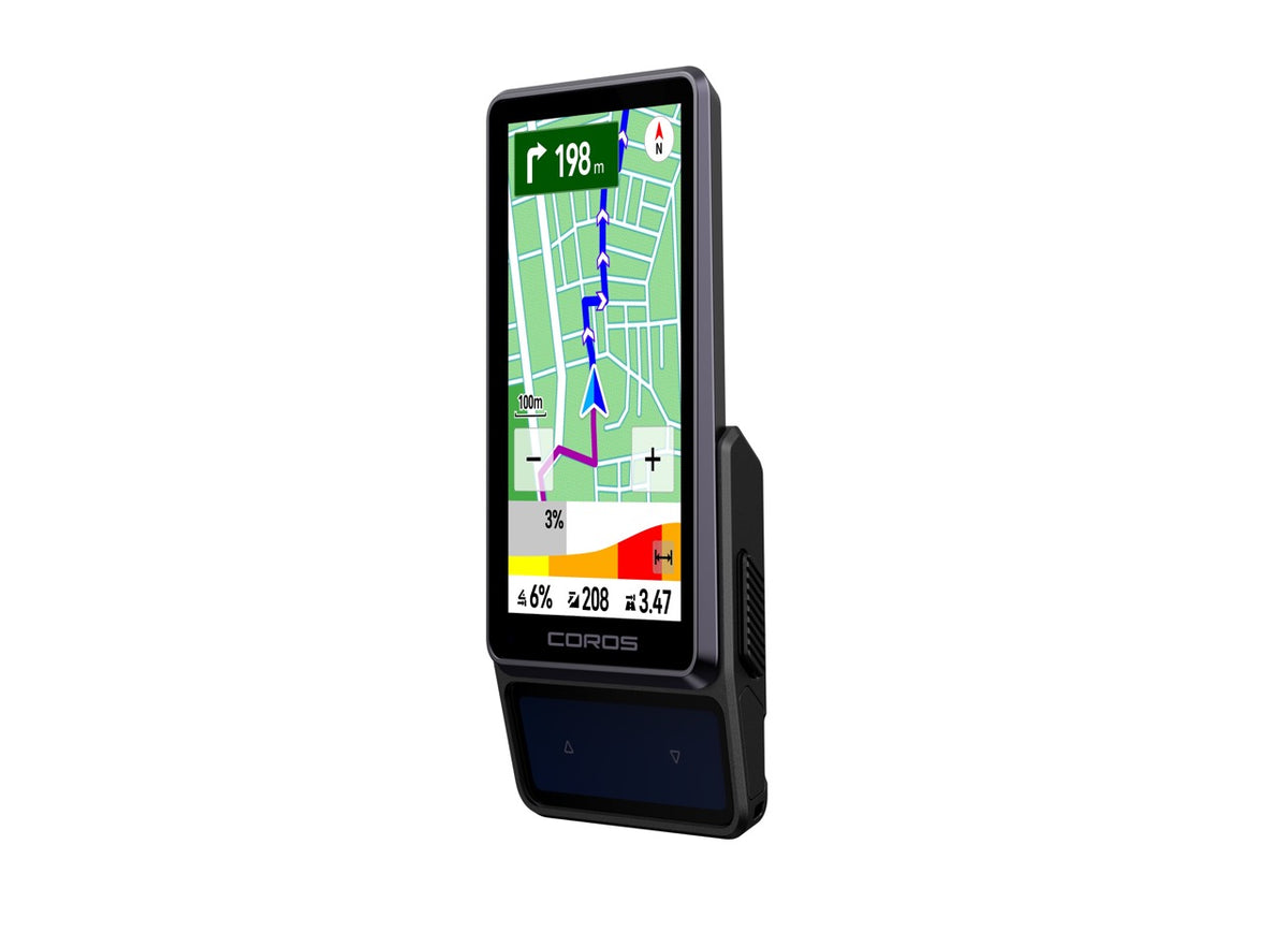
COROS watches put powerful maps right on your wrist to keep you on track even when you're out of mobile coverage. The detailed maps help you navigate with confidence while you're route-finding to a new crag:
- Street names help you navigate the drive or walk-in before you even reach the trailhead.
- Trail names keep you on the correct climbers' path when a crag has two or three unmarked approaches branching off from the same car park.
- Topographic contour lines show the actual shape of the land (the valleys, ridgelines and gullies), so you can tell whether the approach ahead is a gentle walk-up or a steep scramble before you're standing in it.
- Points of interest such as car parks, toilets, water sources and campsites are pinned right on the map, so you're not relying on memory or someone else's trip report to find the lay-by or the last water source before a long approach.
To download maps: open the COROS app to the Profile page, select your watch, then select Map Manager. Tap the grid squares covering the crag or region you're heading to (or search for the area by name), tap the red Download button and connect your watch to Wi-Fi when prompted to finish the transfer. Do this the night before your trip on home or hotel Wi-Fi, not from the trailhead car park where you may have no signal at all. Full step-by-step instructions are in the COROS Map Manager guide.
2. Route Building and Syncing for the Approach
You can build the approach yourself on the Explore page in the COROS app. Tap "Create a Route", then mark your starting point, either by tapping on the map or by searching for the trailhead by name. From there, keep tapping to lay down track points towards the base of the climb; the app will follow known trails and roads where they exist, or you can switch to Manual mode to draw a straight line across terrain with no marked path, which is often the reality on an obscure approach. Add waypoints for things like a stream crossing or the point where you leave the trail, preview the elevation profile before you commit, and tap Sync with Device when you're happy with it. Select the route under Navigation before starting your activity and you'll get real-time heading, elevation and distance guidance all the way to the base of the climb.
If someone else has already done the work of mapping the approach, you don't have to rebuild it from scratch. Routes from guidebooks and route-planning tools such as onX, Mountain Project and CalTopo can typically be exported as a GPX file, a standard format that most of these platforms and guidebook websites support. Download the GPX file to your phone, open it with the COROS app when prompted and save it to your Route Library, from where it can be synced to your watch just like a route you built yourself. This is often the fastest way to get a reliable approach loaded when you're relying on someone else's beta rather than plotting the line yourself.
3. Deviate Alert and Back to Start

Approaches to remote crags aren't always well marked. Turn on Deviate Alert and your watch will notify you if you wander more than about 20 metres off your planned route, then remind you every minute until you're back on track. And if you didn't build a route in advance, Back to Start uses your own recorded GPS breadcrumb trail to retrace your steps to wherever you began.
4. Voice Pins, Waypoints and Checkpoints

Use Pins to mark a gear stash, a water source, an abseil anchor or the exact spot where you left the trail to find the base of the climb. Certain phrases spoken during an activity now generate icons relevant to the words you record. You can pin water sources on the walk in, mark where you racked up or set an anchor, and flag anything hazardous along the way, then attach a photo if you have one. Say something like "water source here, still running in September" on the way in, and afterwards, in Adventure Journal, that exact point on the map will already have the right icon waiting on it.
5. Build Your Own Map From Past Climbs

Every Outdoor Climb activity you record becomes your personal guidebook for the next one. From the Activities page in the COROS app, open a past climb, tap the three dots and choose "Save Route". That old GPS track is now saved to your Route Library, ready to sync back to your watch and follow again on a repeat visit to the same crag or big wall. Any Pins or Waypoints you dropped along the way (gear stashes, key belay stations, tricky turns on the approach) are saved with it and can be found on the Explore page in the COROS app, so you can pull them up before your next attempt. Add your logged pitch grades, styles and lead falls from the same activity, and you've effectively built your own personal beta map that you can review later or share with your friends.
Plan the Day, Not Just the Route

Using the navigation features on your COROS watch while climbing helps you get the most out of it and improves your efficiency, safety and route-finding on any rock-climbing adventure. Building these features into your routine improves your overall experience and helps you build a better map for the next time you visit the area.